Israel Navy leading large-scale earthquake recovery drill

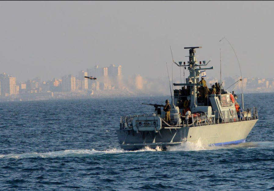
Israeli Navy boat . (photo credit: FLICKR)
The Israeli Navy is leading a large-scale multinational exercise with 10 foreign fleets off the Haifa coast simulating the aftermath of a major earthquake.
Dubbed “Mighty Waves”, the drill began on Sunday and is scheduled to wrap up on Thursday.
It will focus on the after-effects of a significant earthquake which left thousands dead and hundreds of thousands more homeless. The drill will focus on the recovery of casualties, including casualties underwater, and the transfer of humanitarian aid.
Israel’s Home Front Command holds nation-wide drills every summer simulating nation-wide disasters such as earthquakes or tsunamis.
Israel is situated along the Syrian-African fault line which runs along the border between Israel and Jordan, part of the Great Rift Valley, encompassing the area from northern Syria to Mozambique.
While earthquakes in the region tend to be small, the last major earthquake to strike Israel was in 1927, measured 6.2 on the Richter scale, killing 500 people and injured an additional 700. On January 1st 1837, a magnitude 6.5 on the Richter scale struck near Israel’s Galilee, killing an estimated 6,000-7000 people.
A 2016 report by Israel’s Foreign Affairs and Defense Committee’s Home-Front Readiness Subcommittee found that if Israel were to be struck by a 7.5 magnitude earthquake, an estimated 7,000 people would be killed, another 8,600 injured and 377,000 expected to be left homeless. In addition, the country could face damages of up to NIS 200 billion.
In addition to buildings being destroyed, the damage to critical infrastructures such as electricity, water and communication is expected to be great. According to Israel’s National Emergency Authority, there are 80,000 buildings, including schools and hospitals, over three stories high that were built before 1980, and not constructed to current standards.
The Israeli government has begun funding earthquake preparedness projects and the Home Front Command has recently released an application for earthquake preparedness as well as trained over 74,000 students across the country to act as first responders in case of an earthquake to provide aid until professional rescue service teams arrive.
In addition with the threat of a major earthquake, Israel’s 271 km coastline risks being devastated by possible tsunamis. On average, a significant tsunami hits the Mediterranean sea every 100 years, and Israel’s coastline suffers one on average every 250 years.
Tsunamis in Israel are rare, with the last one recorded to hit Israeli shores was in 1956, the result of a large earthquake in Greek waters. Prior to that, the only tsunamis recorded were near Acre in the 19th century and Caesarea in the 12th century.
Nevertheless, the Israeli government began placing tsunami warning signs and evacuation routes along coastal cities in November 2017.
Israel is part of the Intergovernmental Coordination Group for the Tsunami Early Warning and Mitigation System in the North-eastern Atlantic, the Mediterranean and connected seas (ICG/NEAMTWS), and is provided with essential data on seismic activity in the region. As part of the system, Israel will have more than 20 minutes to evacuate its population the moment an earthquake happens in Crete or Greece.
`; document.getElementById(“linkPremium”).innerHTML = cont; (function (v, i){ });


Comments are closed.